The Outdoor Recreation Network Success Awards recognise and showcase the innovative and impactful ways members and associated organisations are addressing some of the most significant challenges facing the outdoor recreation sector.
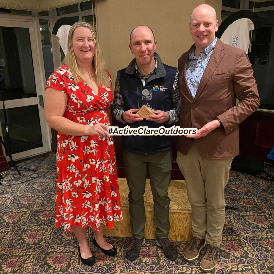
We were thrilled to accept the award for ‘Best Practice for Accessibility and Inclusion’ in the outdoors.
Pictured below is Clare Sports Partnership CEO, John Sweeney and Outdoor Recreation Officer, Jessica O’Keeffe, along with our partner and Rural Recreation Officer from Clare Local Development Company, Eoin Hogan.

Project Title
Development of a digital system for trail managers to assess the accessibility of their trail and for trail users to evaluate the trail for suitability to their abilities in advance of travel.
Project Summary
This project enables trail managers to assess their trail for accessibility using the criteria developed by Sports Ireland, the Irish Wheelchair association and Active Disability Ireland in the “Great Outdoors – a guide for accessibility” publication. The project utilises digital technology (app based survey, GPS, and geolocated photography) to increase the accuracy of the information gathering and the outputs.
Trail users are able to use the technology to evaluate a trail in advance of travelling to the site to ensure that it is within their capability. They are able to view the trail via: 3D interactive aerial map. 3D mapping with additional layering may allow potential trail users to view and decide if the trail is suitable for their abilities. 360 degree video recording of the trail will give users a 360 degree view of the trail and the specific accessibility hot spot. For example they can view a set of steps from all angles and assess the approach, steepness etc.
Project Outcomes & Benefits
The project has created a demonstration site for accessible trails all over Ireland. By digitising the “Great Outdoors – a guide for accessibility” we have improved the efficiency and accuracy of the paper report. This will allow trail and outdoor recreation professionals to assess their sites using the dedicated app and interact via the backend.
The information can be outputted in the same format as the original paper report. The information is also stored in the system backend and can be updated as the trail changes and accessibility improves. The task management element of the system allows trail managers to assign the tasks of addressing the accessibility issues and recording the completion of the task (i.e before and after photography and reporting) This system is available to the network of Rural Recreation Officers to use on the trails they manage.
The other digital elements allow trail users to view the trail in advance of travelling. They can get an overview of the trail and adjoining town via the 3D mapping. It shows the topography and gradient of the area. The 360 camera view allows the walk Google street view type visibility on remote trails. The added layering of accessibility points of interest highlight locations on the trail that may be of concern to a user with accessibility issues and allows them to make their decisions about the suitability of the trail. They can view these points via the 360 video or 3D model.
